Save 15% on Your Next Adventure! Expore now
>
>
>
Kilimanjaro Climb - Rongai Route

Kilimanjaro Climb - Rongai Route

Kilimanjaro Climb - Rongai Route

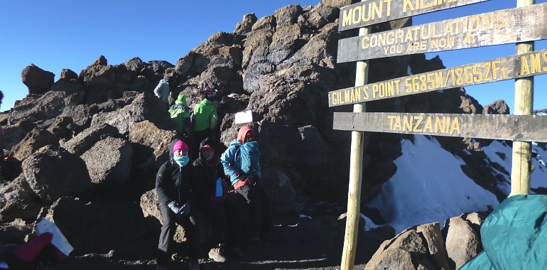
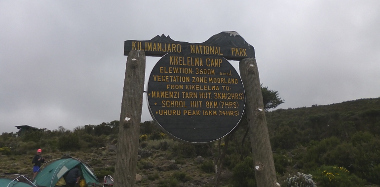
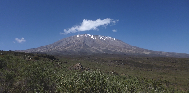
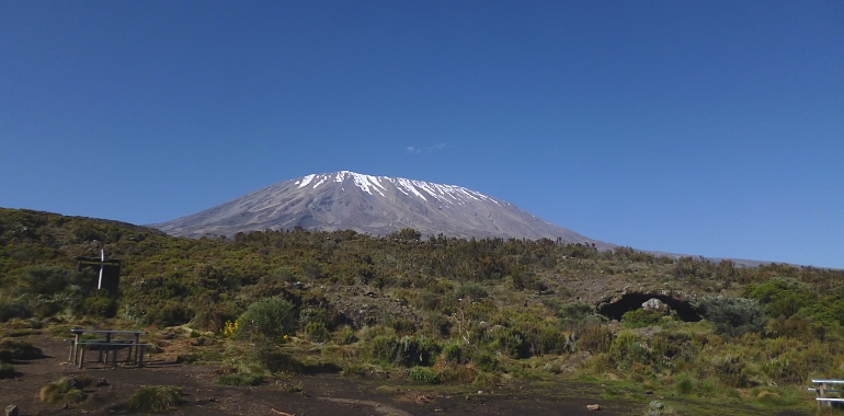
The Rongai aka Nalemoru or Loitokitok route is a pleasant route to the summit. It has also been gaining popularity in recent years. This is one of the few remaining routes on Kilimanjaro where you are likely to see wildlife and this is as a result of its close proximity to Amboseli National Park in the neighboring Kenya. I have seen buffalo, monkeys, civet, elephant, jackal etc over the years. The route begins in the northern side of the mountain and winds its way eastwards to the foot of Mawenzi Peak before joining trekkers from the Marangu Route at Kibo Hut. From Kibo Hut we trudge to Gilman's Point then on to Stella Point and eventually to Uhuru Peak. On the descent, we will trace our way back to Kibo Hut and follow the Marangu Route to the Gate. Total distance is 73 with over half of it on the descend.

Route / Itinerary

  • Walking distance: 6.5 km/4 miles
  • Walking time: 3-4 hours
  • Altitude gain: 700 m/2300 ft
  • Walking distance: 9 km/5.6 miles
  • Walking time: 6-7 hours
  • Altitude gain: 950 m/3110 ft
  • Walking distance: 6 km/3.7 miles
  • Walking time: 3-4 hours
  • Altitude gain: 730 m/2400 ft
  • Afternoon acclimatization walk to about 4500 m/14760 ft
  • Walking distance: 9 km/5.6 miles
  • Walking time: 4-5 hours
  • Altitude gain: 370 m/1215 ft
  • Walking distance: 5 km/3.1 miles ascent + 15 km/9.3 miles descent
  • Walking time: 5-6 hrs + 1-2 hours up, 5-6 hours down (the overall walking time may vary from 10 - 16 hours)
  • Altitude gain: 1000 m/ 3280 ft (Gilman's Point) or 1195 m/3920 ft (Uhuru Peak)
  • Descent: 2195 m/7200 ft
  • Walking distance: 20 km/12.5 miles
  • Walking time: 5 hours
  • Descent: 1840 m/6040 ft
You may also view

Other Routes / Itineraries

Scroll